Geographic Information System (GIS) Services
GIS typically focuses on collecting, analyzing, managing, and interpreting spatial or geographic data. These departments are involved in various activities that are crucial for mapping, urban planning, environmental studies, transportation, and other industries where location-based data is important.

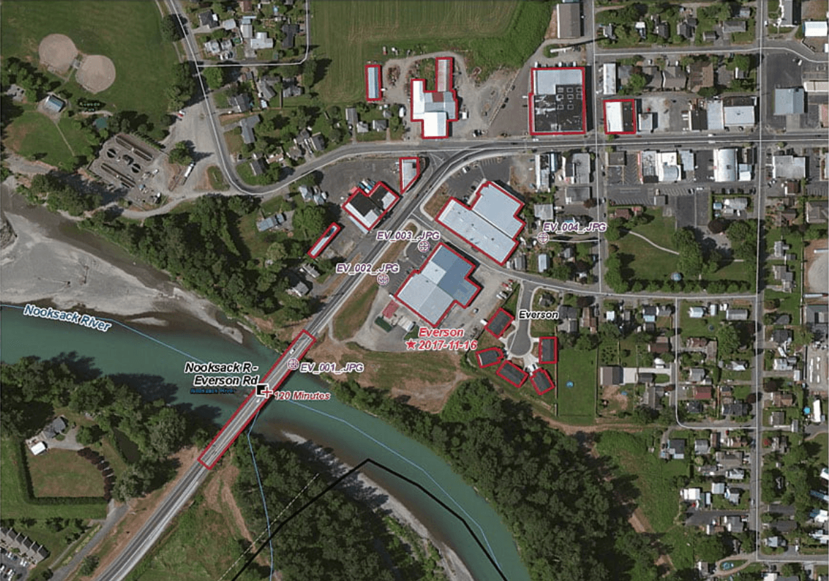
Remote Sensing and Photogrammetry
Through the use of specialized softwares, we process remote sensing and photogrammetry data, delivering precise geospatial information for complex analysis.
Geospatial Data Processing Specialists
Georeferencing and Topology Creating
We employ advanced georeferencing techniques and topology creation ensuring spatial data aligns accurately with real-world coordinates for reliable geographic analysis.
Spatial Data Alignment Experts

Training and Consultation
We offer specialized training and consultation on leading GIS platforms like ArcGIS and QGIS, helping clients enhance their skills and effectively implement GIS technologies in their projects.
GIS Training and Consultancy
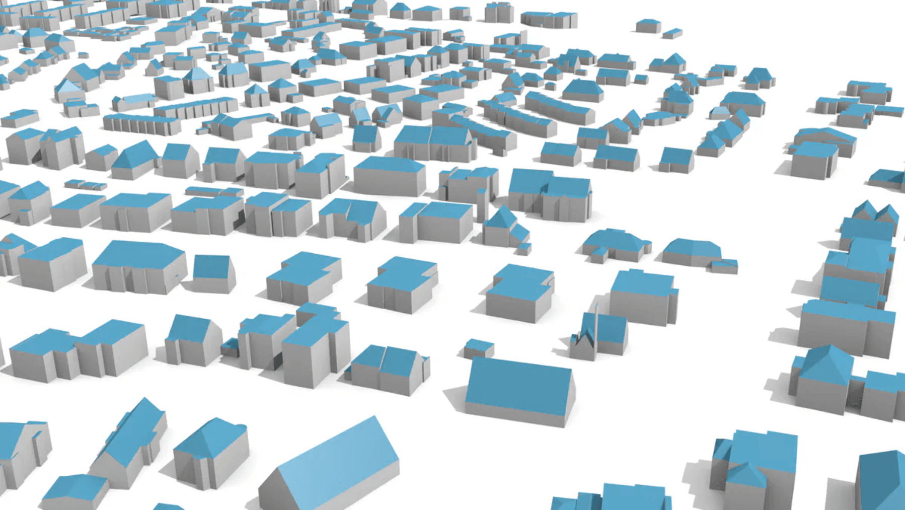
3D City Data Modelling
Leveraging GIS software, we create detailed 3D city models, providing comprehensive visualization tools for urban planning, infrastructure development, and environmental impact assessments.
Urban Planning and Visualization
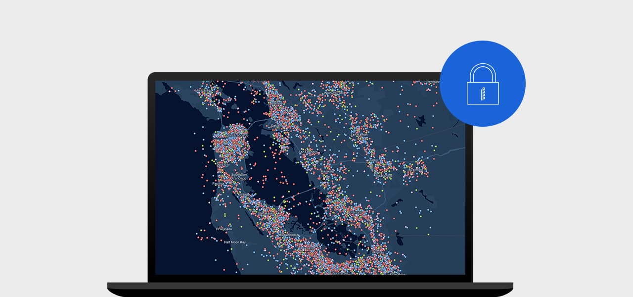
Spatial Data Creation and Management
We provide expert spatial data creation and management, using GIS softwares to build and maintain accurate geospatial databases, crucial for informed decision-making.
Geospatial Database Management
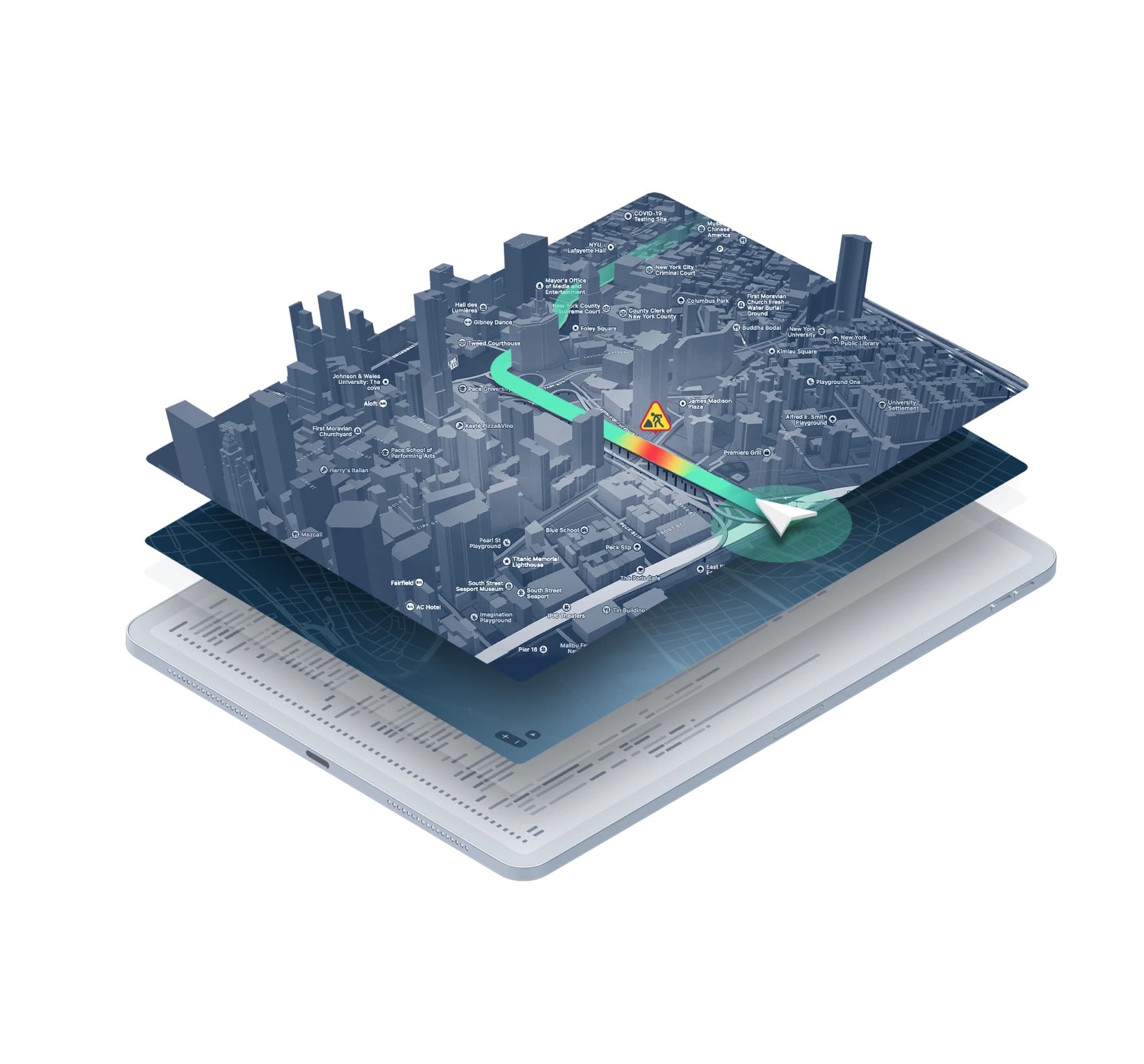
Customised Map Production and Digital Cartography
We produce customized maps and digital cartography tailored to specific needs, supporting everything from urban planning to environmental management.
Cartography and Mapping Experts